KLRD logo with mission statement


Google:

Twitter Logo in Blue Facebook Logo
 
Policy Areas
Publications
Committees
About Us


Redistricting

Redistricting, or reapportionment, is the process by which state legislatures redraw political boundaries every 10 years following the decennial U.S. Census. The United States Constitution and federal statutes require a federal census to be conducted every ten years, and also require that Congressional districts reapportioned based on that census data. The United States Constitution, the Kansas Constitution, and federal and state law require that the federal congressional districts be reapportioned every decade based on the data from the federal census. Kansas constitutional and state law also requires the reapportionment of the state senate districts, the state house of representative districts, and the school board districts in the state based on the census information.

According to the state constitution, redistricting is to be completed in the second year after the federal census.


2012 Enacted District Court Plans

Type Name Author
Congressional M5_District Court -Congressional US District Court -District of Kansas
Kansas House M5_District Court -House US District Court -District of Kansas
Kansas Senate M5_District Court -Senate US District Court -District of Kansas
Kansas SBOE M5_District Court -SBOE US District Court -District of Kansas
     
Shape Files

KLRD is not responsible for the technical support or use of these files by the end user. Contact your software supplier for support. The files are in .zip format.

 
Congressional Kansas Congressional Shape File  
Kansas House Kansas House Shape File  
Kansas Senate Kansas Senate Shape File  
Kansas SBOE Kansas State Board of Education Shape File  
   

USD Reports

Rev. 7/13/12

Reports listing Unified School Districts (USD) by new legislative district.  
Congressional Kansas Congressional USD Report  
Kansas House Kansas House USD Report  
Kansas Senate Kansas Senate USD Report  
Kansas SBOE Kansas State Board of Education USD Report  
     
KML Files

KML files can be used with Google earth to display the new district boundaries. Google earth needs to be installed on your system first before executing these files. The files are in .kml format.


Zip code information can be obtained within Google earth by selecting: More < US Government < Postal Code Boundaries from the "Layer" selection.


KLRD is not responsible for the technical support or use of these files by the end user. Contact your software supplier for support.

 
Congressional Kansas Congressional KML File  
Kansas House Kansas House KML File  
Kansas Senate Kansas Senate KML File  
Kansas SBOE Kansas State Board of Education KML File  
     
New yellow graphic Kansas USD Boundaries: See Education Policy page under USD Boundaries As Submitted to U.S. Census School         District Review Program


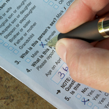
hand writing on census form


Staff Contacts

  • Jordan Milholland
  • James Fisher
  • Melissa Renick
  • J. G. Scott
  •  

    Other Resources

      General Information:

      Population/Census Data:

    Kansas Legislative Research Department - Room 68-W State Capitol Building, 300 SW 10th Avenue, Topeka, Kansas 66612-1504 -- Phone (785) 296-3181 -- kslegres@klrd.ks.gov